
Upper Denkyira East Municipal District topographic map
Interactive map
Click on the map to display elevation.
About this map
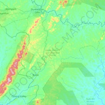
Name: Upper Denkyira East Municipal District topographic map, elevation, terrain.
Location: Upper Denkyira East Municipal District, Central Region, Ghana (5.68095 -1.89463 5.99029 -1.55923)
Average elevation: 140 m
Minimum elevation: 61 m
Maximum elevation: 466 m