
Kwamagome topographic map
Interactive map
Click on the map to display elevation.
About this map
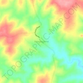
Name: Kwamagome topographic map, elevation, terrain.
Location: Kwamagome, Handeni Town, Tanga, Northern Zone, Tanzania (-5.57185 37.98043 -5.53185 38.02043)
Average elevation: 612 m
Minimum elevation: 563 m
Maximum elevation: 667 m