
Celle topographic map
Interactive map
Click on the map to display elevation.
About this map
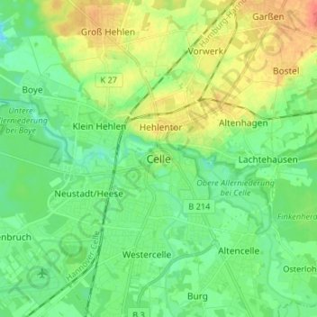
Name: Celle topographic map, elevation, terrain.
Location: Celle, Landkreis Celle, Nedersaksen, 29221, Duitsland (52.58406 10.04105 52.66406 10.12105)
Average elevation: 45 m
Minimum elevation: 29 m
Maximum elevation: 71 m