
Hull topographic map
Interactive map
Click on the map to display elevation.
About this map
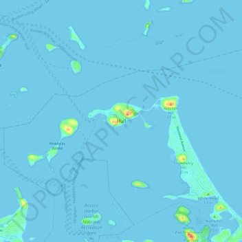
Name: Hull topographic map, elevation, terrain.
Location: Hull, Plymouth County, Massachusetts, 02045, United States (42.26204 -70.94782 42.34204 -70.86782)
Average elevation: 1 m
Minimum elevation: -1 m
Maximum elevation: 39 m