
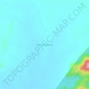
Cheemalapadu topographic map
Interactive map
Click on the map to display elevation.
About this map
Name: Cheemalapadu topographic map, elevation, terrain.
Location: Cheemalapadu, Singareni mandal, Khammam, Telangana, India (17.44842 80.37746 17.48842 80.41746)
Average elevation: 176 m
Minimum elevation: 149 m
Maximum elevation: 465 m