
White Cloud topographic map
Interactive map
Click on the map to display elevation.
About this map
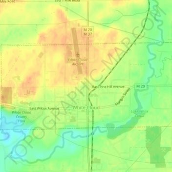
Name: White Cloud topographic map, elevation, terrain.
Location: White Cloud, Newaygo County, Michigan, United States (43.54652 -85.79203 43.56133 -85.75161)
Average elevation: 267 m
Minimum elevation: 245 m
Maximum elevation: 282 m