
Beed topographic map
Interactive map
Click on the map to display elevation.
About this map
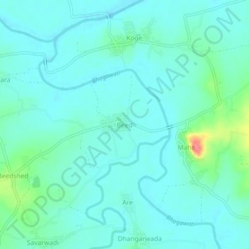
Name: Beed topographic map, elevation, terrain.
Location: Beed, Kolhapur, Kolhapur district, Maharashtra, India (16.62787 74.11159 16.66787 74.15159)
Average elevation: 555 m
Minimum elevation: 540 m
Maximum elevation: 621 m