
Jakhani Dhar topographic map
Interactive map
Click on the map to display elevation.
About this map
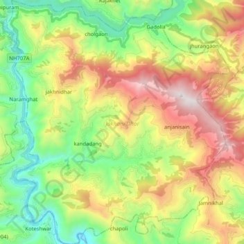
Name: Jakhani Dhar topographic map, elevation, terrain.
Location: Jakhani Dhar, Tehri Garhwal, Uttarakhand, Indien (30.24798 78.47702 30.38519 78.62216)
Average elevation: 1,238 m
Minimum elevation: 520 m
Maximum elevation: 2,334 m