
Kutiya Khal topographic map
Interactive map
Click on the map to display elevation.
About this map
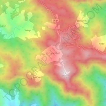
Name: Kutiya Khal topographic map, elevation, terrain.
Location: Kutiya Khal, Dhari, Nainital, Uttarakhand, Indien (29.34914 79.65916 29.38914 79.69916)
Average elevation: 2,041 m
Minimum elevation: 1,601 m
Maximum elevation: 2,402 m