
Rind topographic map
Interactive map
Click on the map to display elevation.
About this map
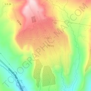
Name: Rind topographic map, elevation, terrain.
Location: Rind, Areni Community, Vayots Dzor Province, Armenia (39.74980 45.16573 39.76613 45.18709)
Average elevation: 1,240 m
Minimum elevation: 1,078 m
Maximum elevation: 1,405 m