
Darb Es Sim topographic map
Interactive map
Click on the map to display elevation.
About this map
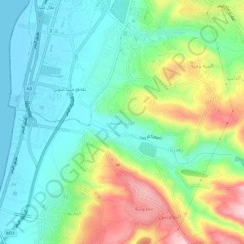
Name: Darb Es Sim topographic map, elevation, terrain.
Location: Darb Es Sim, Sidon District, South Governorate, 1600, Lebanon (33.51430 35.36203 33.55430 35.40203)
Average elevation: 82 m
Minimum elevation: 0 m
Maximum elevation: 251 m