
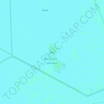
Al Warraq topographic map
Interactive map
Click on the map to display elevation.
About this map
Name: Al Warraq topographic map, elevation, terrain.
Location: Al Warraq, Gezira State, Sudan (14.39930 33.38050 14.43930 33.42050)
Average elevation: 409 m
Minimum elevation: 408 m
Maximum elevation: 412 m