
Narwar topographic map
Interactive map
Click on the map to display elevation.
About this map
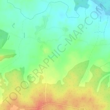
Name: Narwar topographic map, elevation, terrain.
Location: Narwar, Manpur Tahsil, Umaria District, Madhya Pradesh, India (23.75086 81.03638 23.77841 81.06545)
Average elevation: 431 m
Minimum elevation: 405 m
Maximum elevation: 462 m
Other topographic maps
Click on a map to view its topography, its elevation and its terrain.
Ban Sagar Lake
India > Madhya Pradesh > Manpur Tahsil > Shahdol
Ban Sagar Lake, Shahdol, Manpur Tahsil, Umaria, Madhya Pradesh, India
Average elevation: 346 m