
Thank you for supporting this site ❤️
Make a donation
Make a donation
Gear up for your next adventure:
As an Amazon Associate, this site earns from qualifying purchases at no extra cost to you.
Hare topographic map
Click on the map to display elevation.
Thank you for supporting this site ❤️
Make a donation
Make a donation
Gear up for your next adventure:
As an Amazon Associate, this site earns from qualifying purchases at no extra cost to you.
About this map
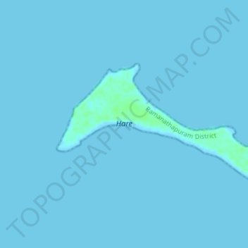
Name: Hare topographic map, elevation, terrain.
Location: Hare, Ramanathapuram, Ramanathapuram District, Tamil Nadu, India (9.19230 79.05872 9.20820 79.09164)
Average elevation: 0 m
Minimum elevation: -1 m
Maximum elevation: 6 m
Thank you for supporting this site ❤️
Make a donation
Make a donation
Gear up for your next adventure:
As an Amazon Associate, this site earns from qualifying purchases at no extra cost to you.