
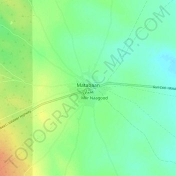
Matabaan topographic map
Interactive map
Click on the map to display elevation.
About this map
Name: Matabaan topographic map, elevation, terrain.
Location: Matabaan, Beledweyne District, Hiiraan, Hirshabelle, Somalia (5.16031 45.48554 5.24031 45.56554)
Average elevation: 433 m
Minimum elevation: 420 m
Maximum elevation: 456 m