
Hagerville topographic map
Interactive map
Click on the map to display elevation.
About this map
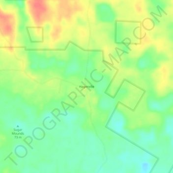
Name: Hagerville topographic map, elevation, terrain.
Location: Hagerville, Houston County, Texas, USA (31.32463 -95.10133 31.36463 -95.06133)
Average elevation: 83 m
Minimum elevation: 58 m
Maximum elevation: 113 m