
Otey topographic map
Interactive map
Click on the map to display elevation.
About this map
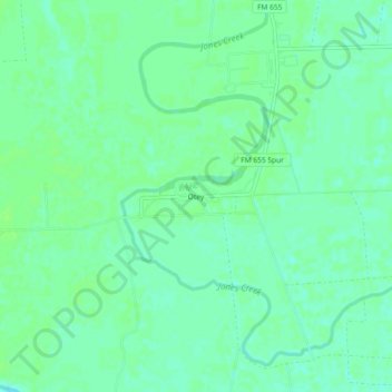
Name: Otey topographic map, elevation, terrain.
Location: Otey, Brazoria County, Texas, USA (29.26580 -95.56550 29.30580 -95.52550)
Average elevation: 14 m
Minimum elevation: 8 m
Maximum elevation: 17 m