
Saceda del Río topographic map
Interactive map
Click on the map to display elevation.
About this map
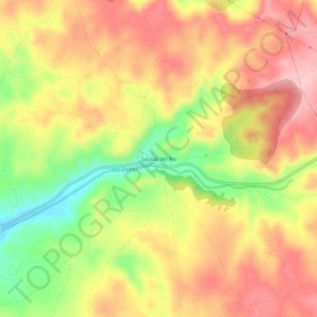
Name: Saceda del Río topographic map, elevation, terrain.
Location: Saceda del Río, Cuenca, Castilla-La Mancha, España (40.19041 -2.63449 40.23041 -2.59449)
Average elevation: 962 m
Minimum elevation: 855 m
Maximum elevation: 1,041 m