Geolocate

Achray topographic map

Click on the map to display elevation.

About this map

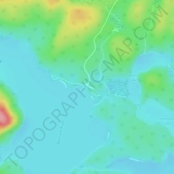
Name: Achray topographic map, elevation, terrain.

Location: Achray, Unorganized South Nipissing, Nipissing District, Northeastern Ontario, Ontario, Canada (45.85746 -77.76688 45.87746 -77.74688)

Average elevation: 239 m

Minimum elevation: 215 m

Maximum elevation: 328 m

Other topographic maps

Click on a map to view its topography, its elevation and its terrain.

Gear up for your next adventure:

🧢Waterproof Hiking Hats - Keep the rain off your face while studying topographic maps
📍Handheld GPS Navigators - Reliable satellite navigation for hiking and off-road exploration
🔋Solar Power Banks - Keep your GPS and phone charged during multi-day expeditions
👟Heavy Duty Boot Laces - Always carry a spare for your hiking footwear
🧵Survival Paracord - Multi-purpose cordage for emergency repairs and shelters

As an Amazon Associate, this site earns from qualifying purchases at no extra cost to you.