
L'Hopital topographic map
Interactive map
Click on the map to display elevation.
About this map
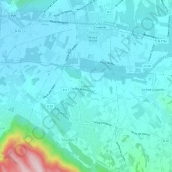
Name: L'Hopital topographic map, elevation, terrain.
Average elevation: 139 m
Minimum elevation: 90 m
Maximum elevation: 462 m
Other topographic maps
Click on a map to view its topography, its elevation and its terrain.
Coustellet
France > Provence-Alpes-Côte d'Azur > Vaucluse > Maubec
Coustellet, Maubec, Apt, Vaucluse, Provence-Alpes-Côte d'Azur, France métropolitaine, 84660, France
Average elevation: 125 m