
Ommen topographic map
Interactive map
Click on the map to display elevation.
About this map
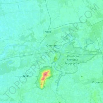
Name: Ommen topographic map, elevation, terrain.
Location: Ommen, Overijssel, Netherlands (52.42814 6.32341 52.59258 6.60964)
Average elevation: 8 m
Minimum elevation: 1 m
Maximum elevation: 75 m
Other topographic maps
Click on a map to view its topography, its elevation and its terrain.