
Thank you for supporting this site ❤️
Make a donation
Make a donation
Gear up for your next adventure:
As an Amazon Associate, this site earns from qualifying purchases at no extra cost to you.
Deeg topographic map
Click on the map to display elevation.
Thank you for supporting this site ❤️
Make a donation
Make a donation
Gear up for your next adventure:
As an Amazon Associate, this site earns from qualifying purchases at no extra cost to you.
About this map
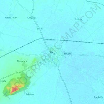
Name: Deeg topographic map, elevation, terrain.
Location: Deeg, Deeg Tehsil, Deeg District, Rajasthan, 321203, India (27.43733 77.28570 27.51733 77.36570)
Average elevation: 183 m
Minimum elevation: 178 m
Maximum elevation: 240 m
Thank you for supporting this site ❤️
Make a donation
Make a donation
Gear up for your next adventure:
As an Amazon Associate, this site earns from qualifying purchases at no extra cost to you.