
Semily topographic map
Interactive map
Click on the map to display elevation.
Semily
Most of the municipal territory lies in the Giant Mountains Foothills. In the southwest, it extends into the Ještěd–Kozákov Ridge. The highest peak of the territory is Medenec hill with an altitude of 544 metres (1,785 ft).
About this map
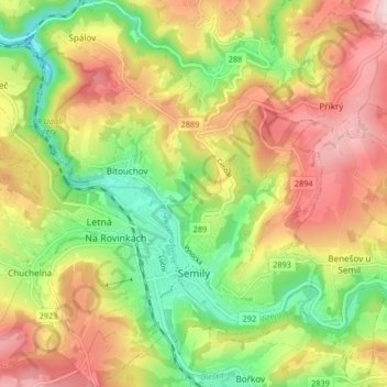
Name: Semily topographic map, elevation, terrain.
Average elevation: 428 m
Minimum elevation: 280 m
Maximum elevation: 586 m
Other topographic maps
Click on a map to view its topography, its elevation and its terrain.