
Capitán Felipe Castellanos Díaz (San Pedro) topographic map
Interactive map
Click on the map to display elevation.
About this map
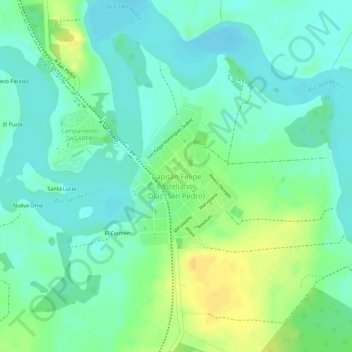
Name: Capitán Felipe Castellanos Díaz (San Pedro) topographic map, elevation, terrain.
Average elevation: 39 m
Minimum elevation: 27 m
Maximum elevation: 57 m