
La Troja topographic map
Interactive map
Click on the map to display elevation.
About this map
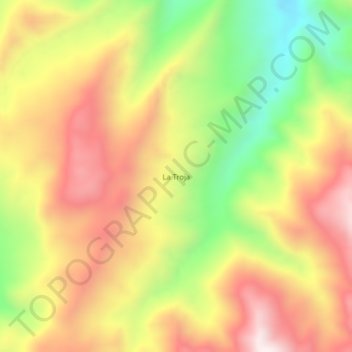
Name: La Troja topographic map, elevation, terrain.
Location: La Troja, Baraya, Norte, Huila, Colombia (3.17018 -74.95459 3.21018 -74.91459)
Average elevation: 1,580 m
Minimum elevation: 1,158 m
Maximum elevation: 1,947 m