
Kalashtar topographic map
Interactive map
Click on the map to display elevation.
About this map
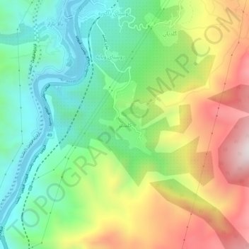
Name: Kalashtar topographic map, elevation, terrain.
Location: Kalashtar, بخش مرکزی, Rudbar County, Gilan Province, Iran (36.76842 49.40276 36.80842 49.44276)
Average elevation: 548 m
Minimum elevation: 175 m
Maximum elevation: 1,131 m
Other topographic maps
Click on a map to view its topography, its elevation and its terrain.
Manjil
Iran > Gilan Province > Rudbar County > دهستان کلشتر
Manjil, دهستان کلشتر, بخش رودبار زیتون, Rudbar County, Gilan Province, Iran
Average elevation: 452 m
Anbuh
Iran > Gilan Province > Rudbar County > Anbuh
Anbuh, بخش عمارلو, Rudbar County, Gilan Province, Iran
Average elevation: 1,614 m