
Blackbeard Island topographic map
Interactive map
Click on the map to display elevation.
About this map
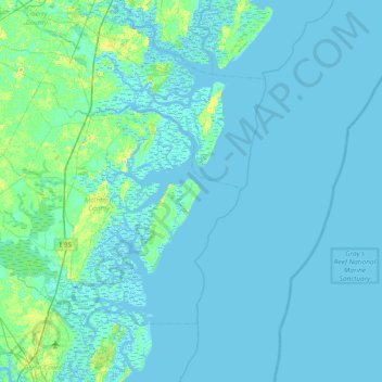
Name: Blackbeard Island topographic map, elevation, terrain.
Location: Blackbeard Island, McIntosh County, Georgia, United States (31.19606 -81.51593 31.83606 -80.87593)
Average elevation: 2 m
Minimum elevation: -5 m
Maximum elevation: 20 m
Other topographic maps
Click on a map to view its topography, its elevation and its terrain.