
Central Otago District topographic map
Interactive map
Click on the map to display elevation.
About this map
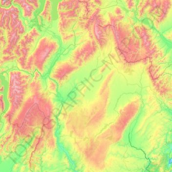
Name: Central Otago District topographic map, elevation, terrain.
Location: Central Otago District, Otago, Nueva Zelanda (-45.81316 168.76865 -44.44860 170.43948)
Average elevation: 737 m
Minimum elevation: 0 m
Maximum elevation: 2,601 m