
فريانة topographic map
Interactive map
Click on the map to display elevation.
About this map
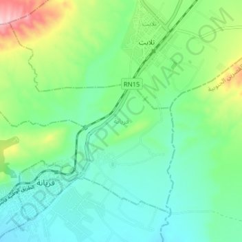
Name: فريانة topographic map, elevation, terrain.
Location: فريانة, معتمدية فريانة, Kasserine, Tunisia (34.93845 8.53599 34.98174 8.60087)
Average elevation: 782 m
Minimum elevation: 719 m
Maximum elevation: 950 m