
Khromtau topographic map
Interactive map
Click on the map to display elevation.
About this map
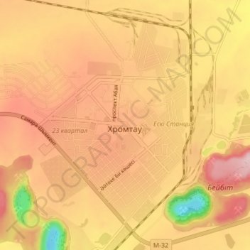
Name: Khromtau topographic map, elevation, terrain.
Location: Khromtau, Khromtau District, Aktobe Region, 031100, Kazakhstan (50.23670 58.41013 50.27830 58.47657)
Average elevation: 423 m
Minimum elevation: 278 m
Maximum elevation: 506 m