
Casper topographic map
Click on the map to display elevation.
About this map
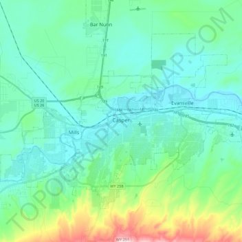
Name: Casper topographic map, elevation, terrain.
Location: Casper, Natrona County, Wyoming, United States (42.79129 -106.43497 42.90753 -106.21571)
Average elevation: 1,635 m
Minimum elevation: 1,546 m
Maximum elevation: 2,010 m
Other topographic maps
Click on a map to view its topography, its elevation and its terrain.
Midwest
United States > Wyoming > Natrona County
The town of Midwest, located in Natrona County, Wyoming, sits in a relatively flat, semi-arid landscape characterized by the rolling hills and gentle slopes typical of the Great Plains region. The area's topography is largely defined by expansive grasslands and isolated buttes. Midwest is positioned near…
Average elevation: 1,482 m
Casper Mountain
United States > Wyoming > Natrona County
Casper Mountain, an anticline, is located at the north end of the Laramie Mountains overlooking Casper, Wyoming along the North Platte River. At a top elevation of 8,130 feet (2,478 m), the geological feature rises approximately 3,000 feet (914 m) above Casper.
Average elevation: 2,315 m