
خاوه topographic map
Interactive map
Click on the map to display elevation.
About this map
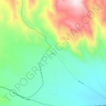
Name: خاوه topographic map, elevation, terrain.
Location: خاوه, بخش مرکزی, Delijan County, Markazi Province, Iran (34.04076 50.94421 34.08076 50.98421)
Average elevation: 2,145 m
Minimum elevation: 1,936 m
Maximum elevation: 2,522 m