
Baisa topographic map
Interactive map
Click on the map to display elevation.
About this map
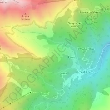
Name: Baisa topographic map, elevation, terrain.
Location: Baisa, Molè, Couasse, Turin, Piémont, Italie (45.03051 7.22420 45.05051 7.24420)
Average elevation: 1,273 m
Minimum elevation: 846 m
Maximum elevation: 1,947 m
Other topographic maps
Click on a map to view its topography, its elevation and its terrain.