
Horburg topographic map
Interactive map
Click on the map to display elevation.
About this map
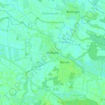
Name: Horburg topographic map, elevation, terrain.
Average elevation: 5 m
Minimum elevation: 1 m
Maximum elevation: 10 m
Other topographic maps
Click on a map to view its topography, its elevation and its terrain.
Rassau
Germany > Lower Saxony > Lüneburg > Amt Neuhaus
Rassau, Amt Neuhaus, Lüneburg, Lower Saxony, 29456, Germany
Average elevation: 17 m