
Lakshmipur topographic map
Interactive map
Click on the map to display elevation.
About this map
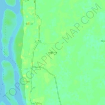
Name: Lakshmipur topographic map, elevation, terrain.
Average elevation: 7 m
Minimum elevation: -1 m
Maximum elevation: 12 m
Other topographic maps
Click on a map to view its topography, its elevation and its terrain.
Gachhtola
Bangladesh > Chattogram Division > Chandpur Sadar Upazila
Gachhtola, Chandpur Sadar Upazila, Chandpur District, Chattogram Division, 3600, Bangladesh
Average elevation: 8 m
Chandpur
Bangladesh > Chattogram Division > Chandpur Sadar Upazila
Chandpur, Chandpur Sadar Upazila, Chandpur District, Chattogram Division, Bangladesh
Average elevation: 8 m