
Agba topographic map
Interactive map
Click on the map to display elevation.
About this map
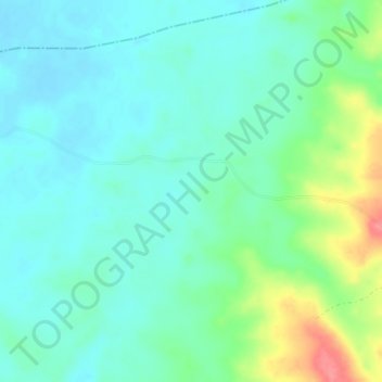
Name: Agba topographic map, elevation, terrain.
Location: Agba, État de Cross River, Nigéria (6.30867 8.60091 6.34867 8.64091)
Average elevation: 58 m
Minimum elevation: 38 m
Maximum elevation: 116 m
Other topographic maps
Click on a map to view its topography, its elevation and its terrain.