
Gumu topographic map
Interactive map
Click on the map to display elevation.
About this map
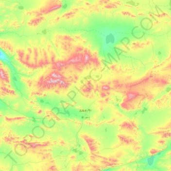
Name: Gumu topographic map, elevation, terrain.
Location: Gumu, Gêrzê County, Ngari Prefecture, Tibet, China (32.49049 84.95925 34.00059 86.32438)
Average elevation: 5,064 m
Minimum elevation: 4,592 m
Maximum elevation: 6,230 m
Other topographic maps
Click on a map to view its topography, its elevation and its terrain.
Chabu
China > Tibet > Gêrzê County
Chabu, Gêrzê County, Ngari Prefecture, Tibet, China
Average elevation: 5,063 m