
浦安市 topographic map
Interactive map
Click on the map to display elevation.
About this map
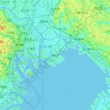
Name: 浦安市 topographic map, elevation, terrain.
Location: 浦安市, Präfektur Chiba, 279-8501, Japan (35.49305 139.74185 35.81305 140.06185)
Average elevation: 8 m
Minimum elevation: -6 m
Maximum elevation: 75 m