
Gujareti topographic map
Interactive map
Click on the map to display elevation.
About this map
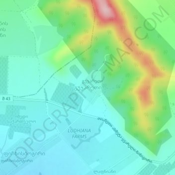
Name: Gujareti topographic map, elevation, terrain.
Location: Gujareti, Raion Lagodekhi, Kakheti, Georgia (41.84549 46.07959 41.85091 46.08499)
Average elevation: 330 m
Minimum elevation: 273 m
Maximum elevation: 497 m