
Lyng topographic map
Interactive map
Click on the map to display elevation.
About this map
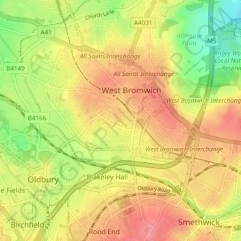
Name: Lyng topographic map, elevation, terrain.
Average elevation: 151 m
Minimum elevation: 107 m
Maximum elevation: 184 m
Routes: West Midlands Combined Authority GPS tracks, routes, trails, hikes