
Hanumanpura topographic map
Interactive map
Click on the map to display elevation.
About this map
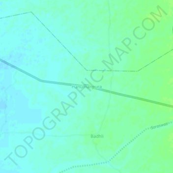
Name: Hanumanpura topographic map, elevation, terrain.
Location: Hanumanpura, Patan Taluka, Patan, Gujarat, India (23.84057 72.02444 23.88057 72.06444)
Average elevation: 70 m
Minimum elevation: 66 m
Maximum elevation: 76 m