
Katooma topographic map
Interactive map
Click on the map to display elevation.
About this map
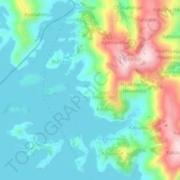
Name: Katooma topographic map, elevation, terrain.
Location: Katooma, Kabale, Western Region, Uganda (-1.30506 29.92168 -1.26506 29.96168)
Average elevation: 2,030 m
Minimum elevation: 1,937 m
Maximum elevation: 2,264 m