
San Martín topographic map
Interactive map
Click on the map to display elevation.
About this map
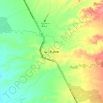
Name: San Martín topographic map, elevation, terrain.
Location: San Martín, Cesar, Colombia (7.96193 -73.55215 8.04193 -73.47215)
Average elevation: 103 m
Minimum elevation: 69 m
Maximum elevation: 151 m