
Thank you for supporting this site ❤️
Make a donation
Make a donation
Gear up for your next adventure:
As an Amazon Associate, this site earns from qualifying purchases at no extra cost to you.
Davulbaz topographic map
Click on the map to display elevation.
Thank you for supporting this site ❤️
Make a donation
Make a donation
Gear up for your next adventure:
As an Amazon Associate, this site earns from qualifying purchases at no extra cost to you.
About this map
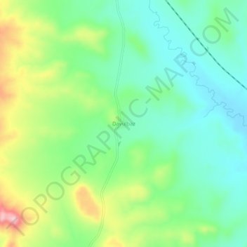
Name: Davulbaz topographic map, elevation, terrain.
Location: Davulbaz, Kangal, Sivas, Central Anatolia Region, Turkey (39.26984 37.37540 39.30984 37.41540)
Average elevation: 1,549 m
Minimum elevation: 1,484 m
Maximum elevation: 1,681 m
Thank you for supporting this site ❤️
Make a donation
Make a donation
Gear up for your next adventure:
As an Amazon Associate, this site earns from qualifying purchases at no extra cost to you.