
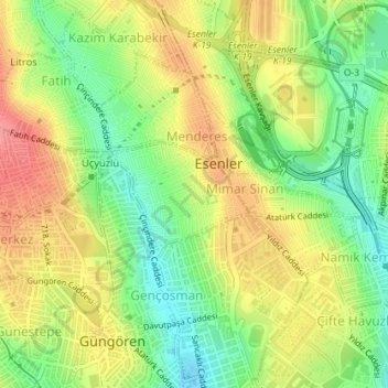
Nenehatun Mahallesi topographic map
Interactive map
Click on the map to display elevation.
About this map
Name: Nenehatun Mahallesi topographic map, elevation, terrain.
Location: Nenehatun Mahallesi, Esenler, Istanbul, Marmara Region, Turkey (41.03185 28.87254 41.03912 28.88546)
Average elevation: 71 m
Minimum elevation: 27 m
Maximum elevation: 114 m