
San Gaspar topographic map
Interactive map
Click on the map to display elevation.
About this map
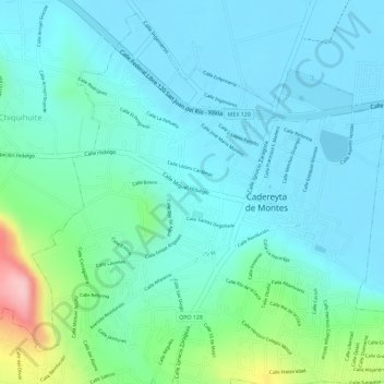
Name: San Gaspar topographic map, elevation, terrain.
Location: San Gaspar, Cadereyta de Montes, Querétaro, México (20.69528 -99.82134 20.69582 -99.82042)
Average elevation: 2,074 m
Minimum elevation: 2,032 m
Maximum elevation: 2,232 m