
Penestanan topographic map
Interactive map
Click on the map to display elevation.
About this map
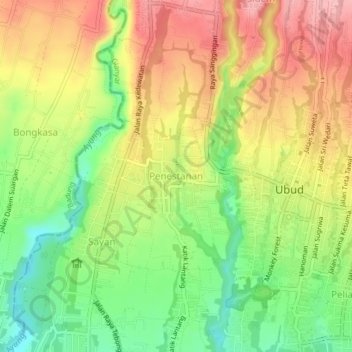
Name: Penestanan topographic map, elevation, terrain.
Location: Penestanan, Bali, 80515, Indonesia (-8.52539 115.22924 -8.48539 115.26924)
Average elevation: 208 m
Minimum elevation: 140 m
Maximum elevation: 275 m