
Trey topographic map
Interactive map
Click on the map to display elevation.
About this map
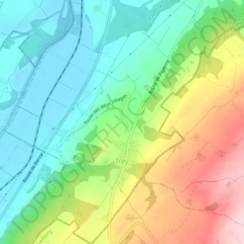
Name: Trey topographic map, elevation, terrain.
Location: Trey, District de la Broye-Vully, Waadt, 1552, Schweiz (46.75986 6.90795 46.78726 6.93886)
Average elevation: 551 m
Minimum elevation: 455 m
Maximum elevation: 722 m