
Thank you for supporting this site ❤️
Make a donation
Make a donation
Gear up for your next adventure:
As an Amazon Associate, this site earns from qualifying purchases at no extra cost to you.
MacGregor topographic map
Click on the map to display elevation.
Thank you for supporting this site ❤️
Make a donation
Make a donation
Gear up for your next adventure:
As an Amazon Associate, this site earns from qualifying purchases at no extra cost to you.
About this map
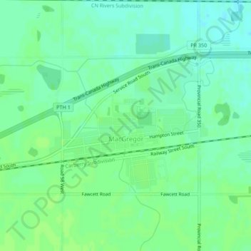
Name: MacGregor topographic map, elevation, terrain.
Location: MacGregor, Division No. 8, Manitoba, R0H 0R0, Canada (49.96020 -98.78967 49.97515 -98.76674)
Average elevation: 293 m
Minimum elevation: 287 m
Maximum elevation: 296 m
Thank you for supporting this site ❤️
Make a donation
Make a donation
Gear up for your next adventure:
As an Amazon Associate, this site earns from qualifying purchases at no extra cost to you.