
Sarita Udyan topographic map
Interactive map
Click on the map to display elevation.
About this map
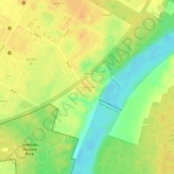
Name: Sarita Udyan topographic map, elevation, terrain.
Average elevation: 71 m
Minimum elevation: 48 m
Maximum elevation: 84 m
Other topographic maps
Click on a map to view its topography, its elevation and its terrain.
Gandhinagar
India > Gujarat > Gandhinagar Taluka > Gandhinagar
Gandhinagar, Gandhinagar Taluka, Gandhinagar District, Gujarat, 382011, India
Average elevation: 76 m